Napo Province (Provincia de Napo)
 |
 |
This province is one of the many located in Ecuador's section of the Amazon Rainforest.
In Napo province are also Antisana Ecological Reserve, Sumaco Napo-Galeras National Park, and Limoncocha National Biological Reserve.
The province is divided into five cantons. The following table lists each with its population at the 2001 census, its area in square kilometres (km²), and the name of the canton seat or capital.
Map - Napo Province (Provincia de Napo)
Map


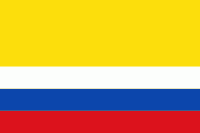
Country - Ecuador
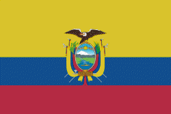
Currency / Language
| ISO | Currency | Symbol | Significant figures |
|---|---|---|---|
| USD | United States dollar | $ | 2 |
| ISO | Language |
|---|---|
| ES | Spanish language |

